
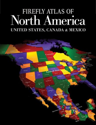
Firefly atlas of North America : United States, Canada & Mexico / [cartography by Philip's].
Material type: TextPublication details: Buffalo, N.Y. : Published in the U.S. by Firefly Books (US) ; Richmond Hill, Ont. : Published in Canada by Firefly Books Ltd., 2006.Description: 1 atlas (272 p.) : col. ill., col. maps ; 37 cmISBN:
 - 9781554072071
- 1554072077
- Atlas of North America
- United States, Canada & Mexico
- 912.7
- R G 1105 G523 2006
| Item type | Current library | Home library | Collection | Shelving location | Call number | Copy number | Status | Date due | Barcode |
|---|---|---|---|---|---|---|---|---|---|
 Libro
Libro
|
Biblioteca Juan Bosch | Biblioteca Juan Bosch | Referencia | Referencia (1er. Piso) | R G 1105 G523 2006 (Browse shelf(Opens below)) | 1 | Available | 00000091432 |
Relief shown by shading and spot heights. Depths shown by gradient tints and soundings.
Includes index.
[pt. 1]. Statistics -- [pt. 2]. Gazetteer -- [pt. 3]. United States maps -- Map symbols -- United States -- United States Midwest and North-east -- North Dakota and South Dakota -- Minnesota -- Wisconsin -- Michigan -- Nebraska -- Iowa -- Kansas -- Missouri -- Illinois -- Indiana -- Ohio -- Pennsylvania -- New York -- New Hampshire and Vermont -- Maine -- Massachusetts, Connecticut and Rhode Island -- New Jersey -- Maryland, Delaware and District of Columbia -- Minneapolis-St. Paul, Milwaukee, St. Louis -- Chicago -- Boston -- New York City -- Detroit, Cleveland, Pittsburgh, Philadelphia -- Baltimore, Washington D.C. -- United States - South -- West Virginia and Virginia -- North Carolina and South Carolina -- Tennessee and Kentucky -- Arkansas -- Oklahoma -- Texas -- Louisiana -- Mississippi -- Alabama -- Georgia -- Florida -- Tampa-St. Petersburg, Miami-Fort Lauderdale, Orlando --
Dallas-Fort Worth, Houston, San Antonio -- New Orleans, Memphis, Atlanta -- United States - West -- Washington -- Oregon -- Idaho -- Montana -- Wyoming -- Colorado -- California -- Nevada -- Utah -- Arizona -- New Mexico -- Seattle, Portland, San Francisco -- Los Angeles, San Diego -- Salt Lake City, Denver, Las Vegas, Phoenix -- Alaska -- Hawaii -- Oahu -- Hawaiian Islands -- [pt. 4]. Canada maps -- Map symbols -- Canada -- Atlantic provinces -- Newfoundland -- Northern Quebec and Labrador -- Southern Quebec -- Southern Ontario -- Central Ontario - Lake Superior -- Southern Manitoba and Saskatchewan -- Southern Alberta -- Southern British Columbia -- Canada Northwest -- Nunavut -- Montreal, Ottawa -- Toronto, Vancouver -- Greenland --
[pt. 5]. Mexico maps -- Map symbols -- Mexico -- Baja California -- Sonora and Chihuahua -- Coahuila, Nuevo Leâon, Tamaulipas and San Luis Potosâi -- Nayarit, Sinaloa, Durango, Zacatecas and Aguascalientes -- Central Mexico -- Veracruz, Puebla and Oaxaca -- Tabasco and Chiapas -- Yucatâan, Quintana Roo and Campeche -- Guadalajara, Monterrey -- Mexico City -- Central America and the Caribbean -- Puerto Rico and the U.S. Pacific Territories -- Puerto Rico -- U.S. outlying territories -- Northern Marianas -- Samoan Islands -- Guam, Saipan, Tutuila, Manua Islands -- Index to maps.
Includes maps of the United States, Canada, and Mexico.
There are no comments on this title.